Import Utility Lines Quickly.
Instead of manually importing utility lines from every PDF you get, vectorize them automatically with our software.
BACKED BY WORLD-RENOWNED INVESTORS


 77.xyz
Instead of manually importing utility lines from every PDF you get, vectorize them automatically with our software.
BACKED BY WORLD-RENOWNED INVESTORS
77.xyz
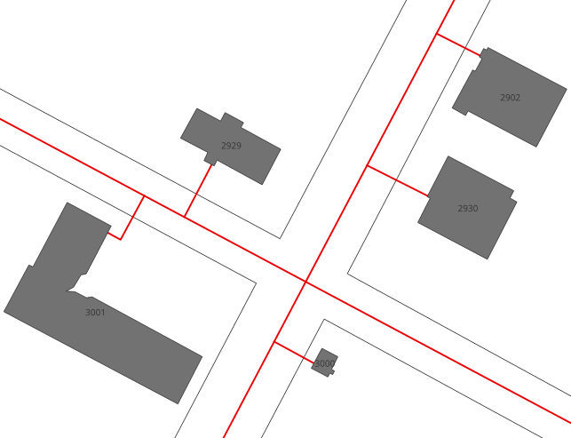
Working with utilities means working with PDF maps.
With our software, it doesn't mean headaches or wasted time.
We automatically georeference your utility maps, even if they're 1 month or 100 years old.
We can extract each utility as a distinct vector layer.
Our software is capable of exporting to both CAD and GIS, in any file type you need.
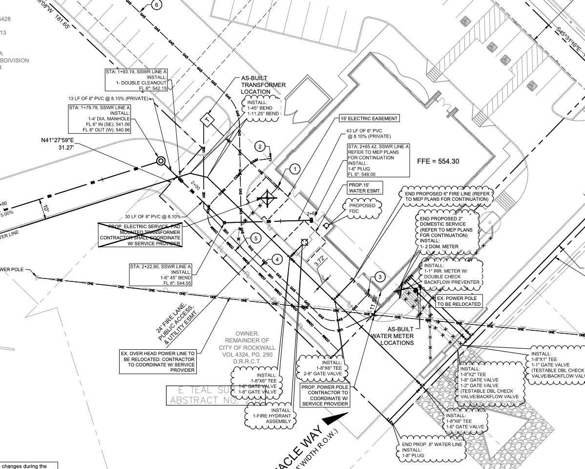
First, our software uses computer vision to pair information in your PDFs with public geospatial data, similar to how a human would georeference.
Then, we use a second computer vision algorithm to accurately extract utility lines as distinct vector layers for you to import into GIS and CAD.
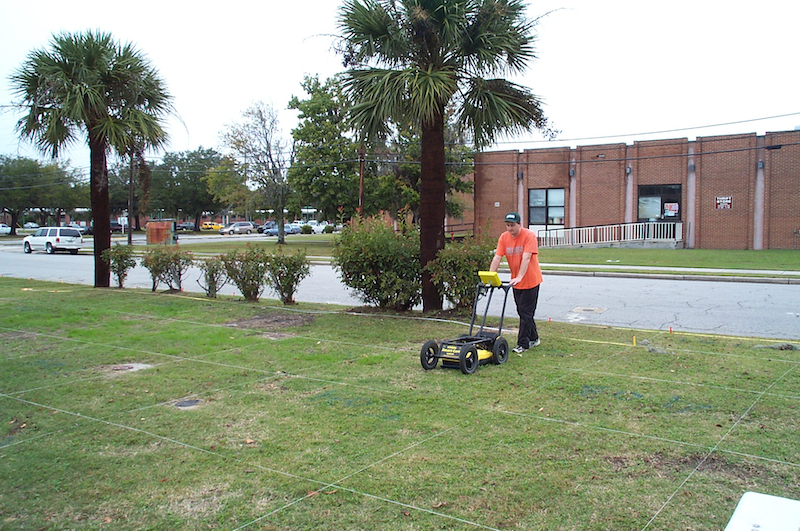
Ground penetrating radar is key to locating utilities as accurately as possible. But, GPR does not always tell you what you're looking at. So, we are building software to let you pair the output of GPR with PDF utility maps better identify lines.
Would you like to test this feature? Reach out to us!

"This is a really great plugin that helps you trace vectors in a very easy and fast way", as featured in his YouTube review of our plugin.


"This is an absolutely perfect use of AI in geospatial. It takes a very manual and time-consuming task and passes that off to AI while still being able to have human intervention when needed. Amazing work!"

Get started with our AI digitization to make slow, painful utility mapping a thing of the past.
Get started