Blogging about real-world GIS

Follow along for geospatial tutorials, data science, visualizations and product updates

Presentamos nuestro Plugin de Cartografía Asistida por Inteligencia Artificial (IA) para QGIS (febrero de 2024)

Published on February 21, 2024.

Anunciando nuestro plugin de QGIS, la herramienta de vectorización para QGIS más avanzada tecnológicamente en la barra de herramientas.

vanesa vaca author

Vanesa Vaca

GIS Staff

Introducing our QGIS AI Map Tracing Plugin (January 2024)

Published on January 31, 2024.

Announcing our QGIS plugin, the most technologically advanced QGIS vectorizing tool in the toolbar.

michael egan author

Michael Egan

Co-Founder

What is GeoAI and How Can You Use It (July 2023)

Published on August 2, 2023.

Here are 7 ways GIS professionals are capitalizing on recent advancements in artificial intelligence with GeoAI.

michael egan author

Michael Egan

Co-Founder

Exploring Alternatives to ArcScan for Map Digitization (2023)

Published on July 25, 2023.

With ESRI ArcScan being phased out, here are 4 alternatives to ArcScan that can deal with vectorizing raster maps.

michael egan author

Michael Egan

Co-Founder

Easiest ways to add utility maps into CAD and GIS

Published on May 5, 2023.

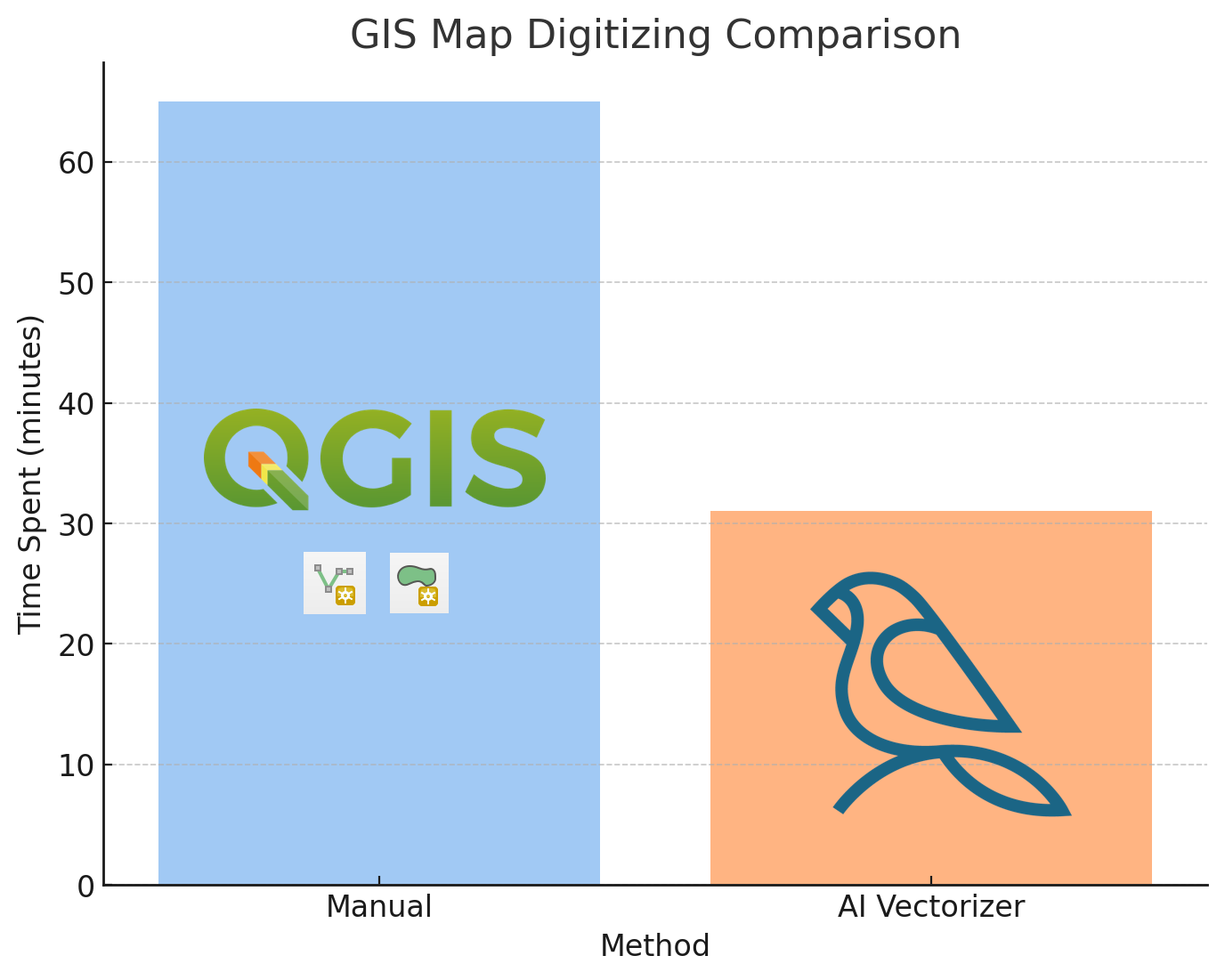
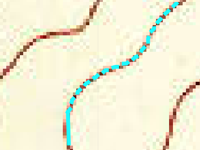
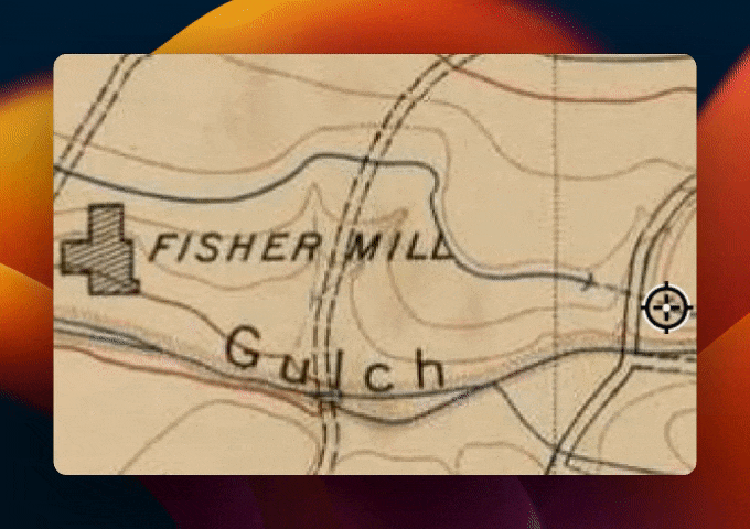
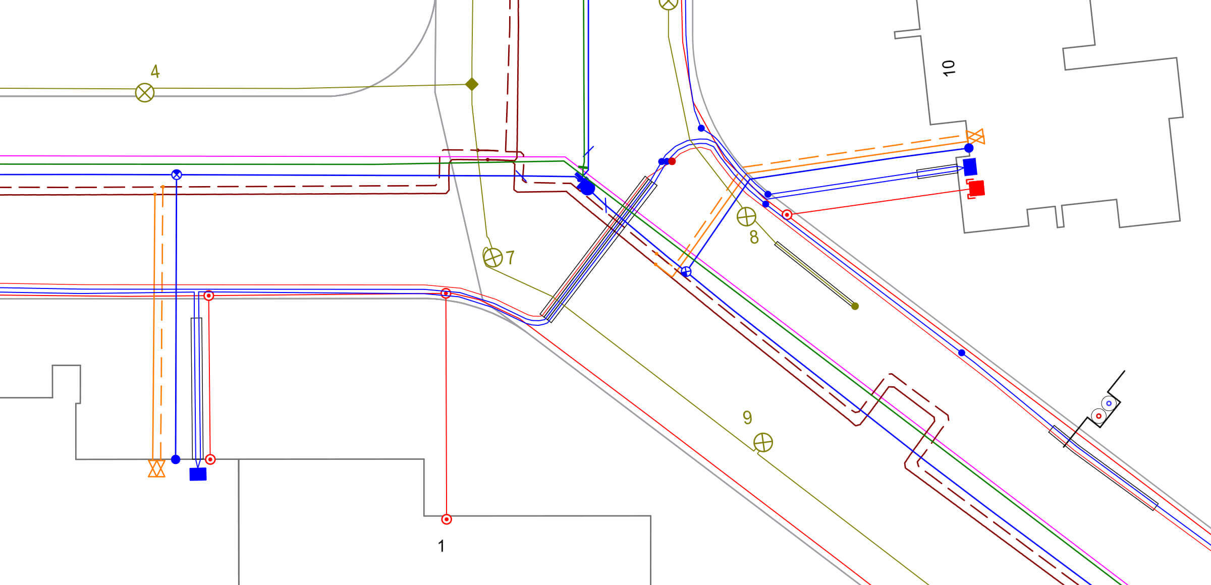
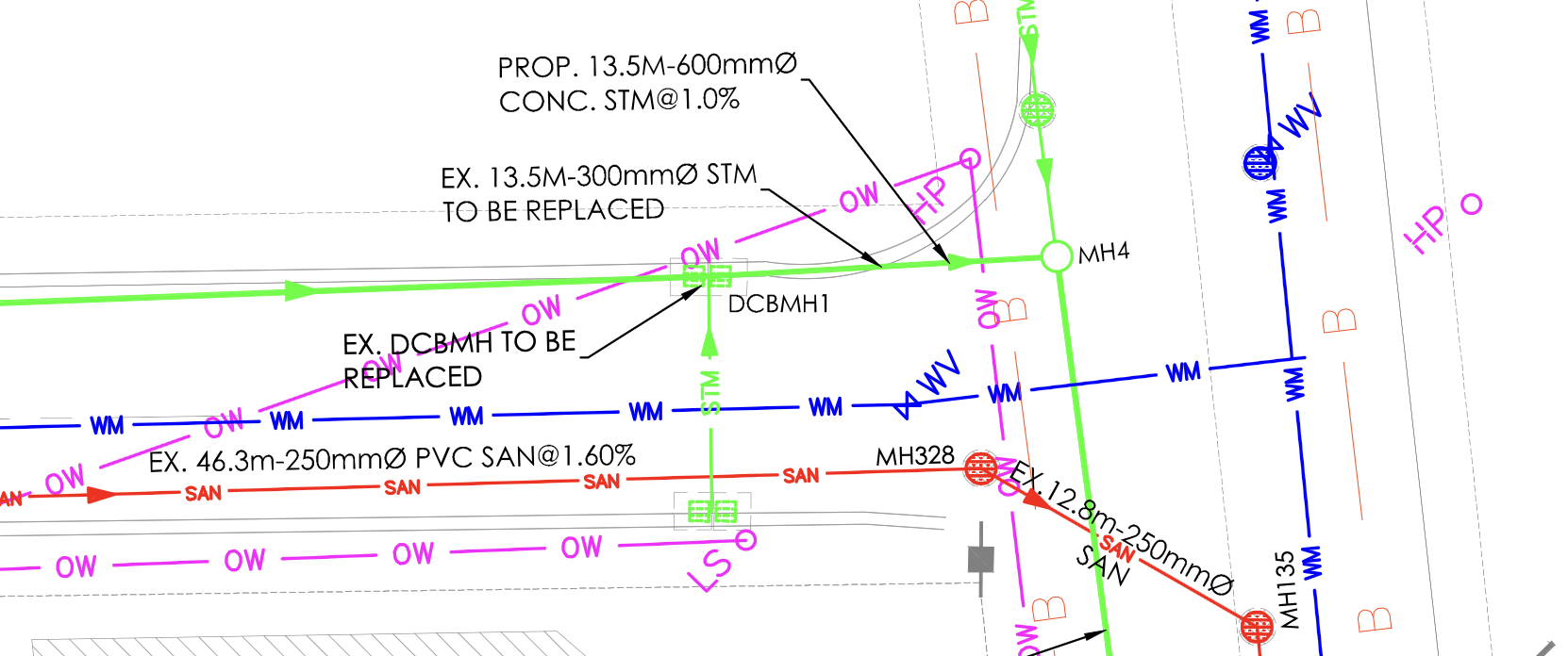
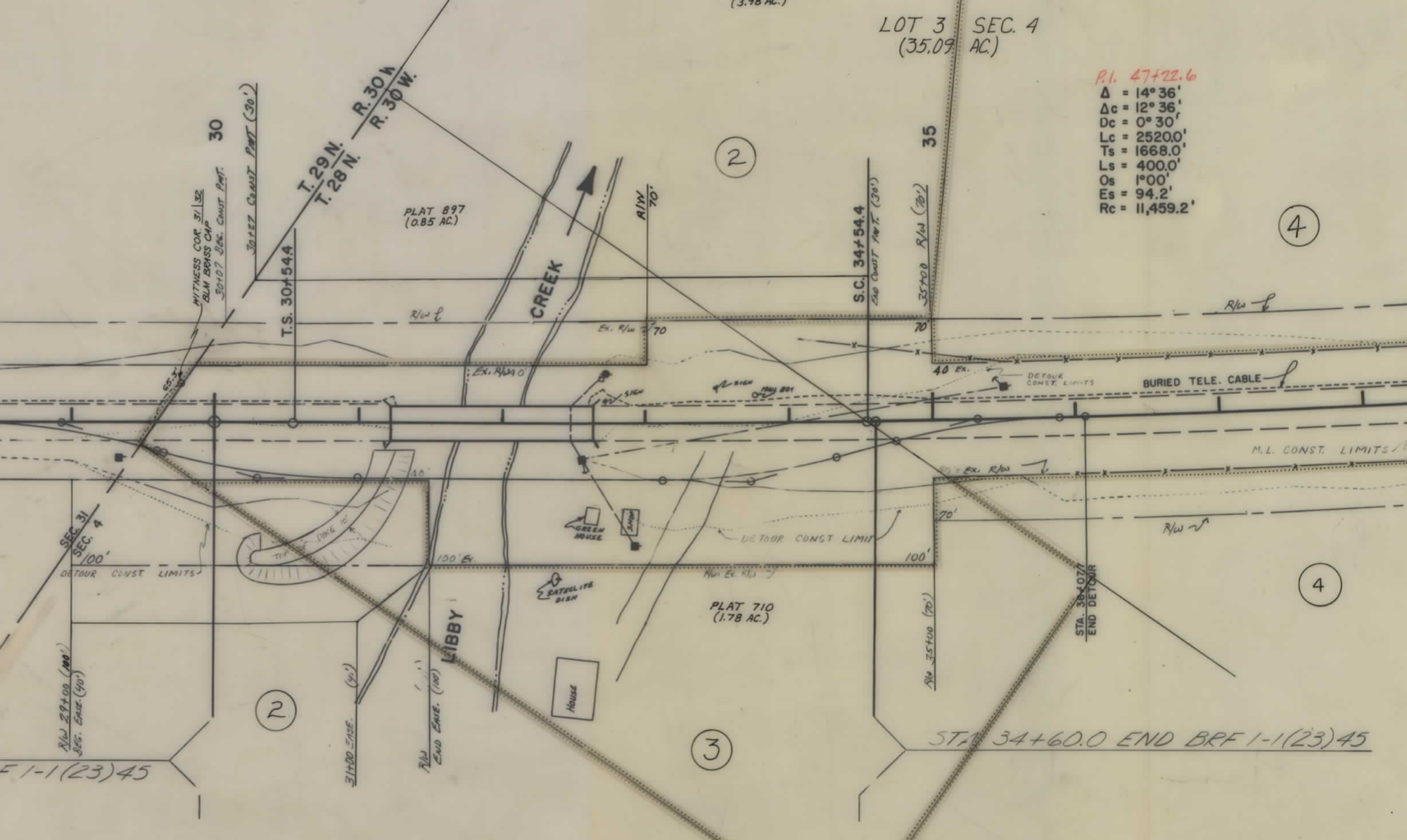
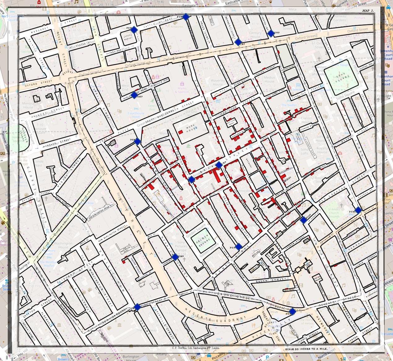
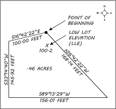
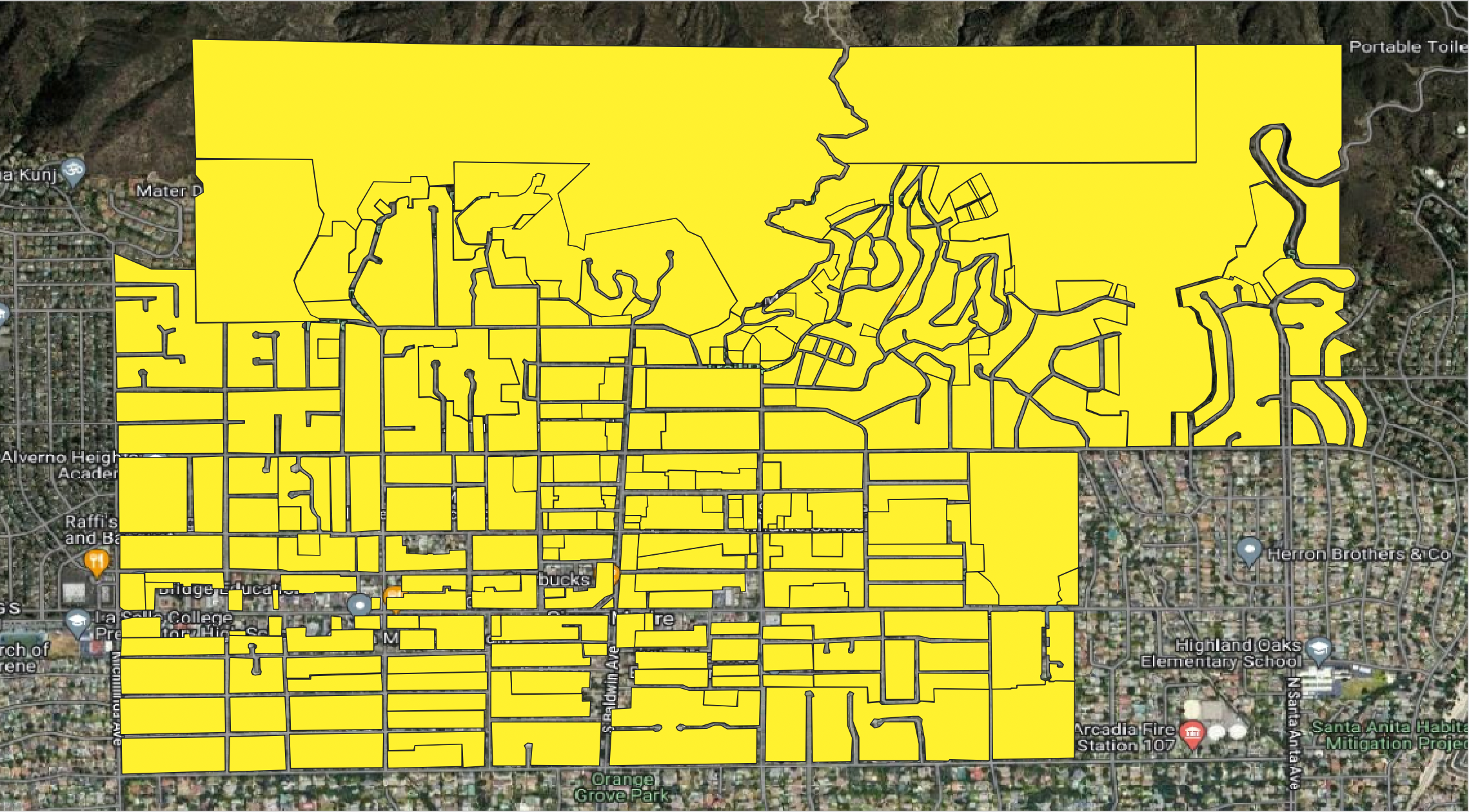
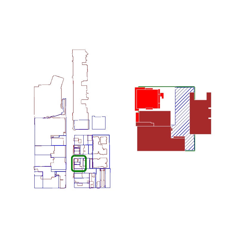
Digitizing maps is a crucial step for utility engineers and GIS professionals. We analyze the trade-offs between doing it yourself, hiring help, or using specialized software. While basic needs can rely on manual work, bigger map conversion undertakings benefit from automation and AI to slash timelines and boost precision.

michael egan author

Michael Egan

Co-Founder

Bulk Georeferencing 100s of As-Built PDFs with AI

Published on March 17, 2023.

Local governments struggle with infrastructure records locked in paper documents. New automated software can now digitize and transform these into interactive maps. Officials gain quick access to utility line locations and avoid dangerous strikes.

brendan ashworth author

Brendan Ashworth

Co-Founder

Introducing: an API to download from OpenStreetMap

Published on March 14, 2023.

A new API provides easy access to OpenStreetMap data. Developers can now extract GeoJSON features from the world's largest crowdsourced geospatial database. With over 10 billion data points mapping transit, land use, and more, innovative apps can be built on top of OSM data.

brendan ashworth author

Brendan Ashworth

Co-Founder

How a Single Map From 1854 Changed Urban History

Published on January 27, 2023.

John Snow mapped cholera cases and traced the source to a contaminated pump. Removing its handle ended a lethal outbreak, proving waterborne transmission and launching epidemiology. Snow's work inspired water and sewer improvements that saved cities and eradicated cholera.

michael egan author

Michael Egan

Co-Founder

Why Digitizing Survey Plats Automatically is... Really Hard

Published on December 29, 2022.

Survey plats contain the world's most accurate property boundaries but remain largely undigitized. Extracting data from these complex maps used to require advanced GIS skills to vectorize boundaries. But here's why digitizing these automatically is extremely difficult.

brendan ashworth author

Brendan Ashworth

Co-Founder

Georeferencing and Vectorizing a Zoning Map PDF with QGIS

Published on December 5, 2022.

This tutorial walks through georeferencing a zoning map with the open-source QGIS software. By aligning the map to an xyz tile base layer, the author demonstrates how to match points to precise real-world coordinates.

michael egan author

Michael Egan

Co-Founder

Creating a spatial IDE for GIS developers

Published on October 21, 2022.

Unlocking insights from location data has never been easier. With an innovative new spatial IDE, anyone can now do powerful geospatial analysis and visualization to answer questions they never thought possible.

brendan ashworth author

Brendan Ashworth

Co-Founder

Using the GeoPandas Spatial Index to Fix Slow Intersections

Published on September 6, 2022.

Merging massive spatial datasets requires optimization. The GeoPandas library provides a spatial index to accelerate intersection calculations. This method runs 3x faster than naive looping and scales to datasets of millions of rows.

brendan ashworth author

Brendan Ashworth

Co-Founder

Bunting Labs is a Y Combinator-Backed Startup

Published on August 31, 2022.

This geospatial startup is democratizing access to a world of data. Bunting Labs' innovative open-source and hosted platforms allow developers and companies alike to unlock insights from massive troves of geographic information with unmatched ease.

brendan ashworth author

Brendan Ashworth

Co-Founder

Free GIS file conversion utilities

Published on June 6, 2023.

A list of our free file conversion tools for importing data into PostGIS

brendan ashworth author

Brendan Ashworth

Co-Founder

Downloading OpenStreetMap (OSM) data into GeoPandas

Published on March 10, 2023.

This quick tutorial teaches you how to effortlessly extract treasure troves of geographical data like restaurants and hiking trails using Python. In just minutes, you'll be visualizing and analyzing points of interest from the world's largest crowd-sourced map.

brendan ashworth author

Brendan Ashworth

Co-Founder

Import OSM features into a PostGIS table

Published on March 10, 2023.

This quick tutorial shows you how to unlock over 10 billion points of interest from OpenStreetMap and load them into your PostGIS database with just a few clicks.

brendan ashworth author

Brendan Ashworth

Co-Founder

Fixing GEOSException: IllegalArgumentException: Argument must be Polygonal or LinearRing

Published on October 26, 2022.

How to fix shapely.geometry GEOSException thrown under certain invalid GEOS polygons.

brendan ashworth author

Brendan Ashworth

Co-Founder